Jump to content


Photo

Pacific Marine Circle Route - Langford-Sooke-Port Renfrew-Lake Cowichan-Duncan


  • Please log in to reply
119 replies to this topic

#21 mat

mat
  • Member
  • 2,070 posts

Posted 29 April 2009 - 04:29 PM

You won't have ANY problems with an Element. But remember that you will travel a little way on gravel road, so ensure your tires have decent tread in order to avoid the potential for a flat.

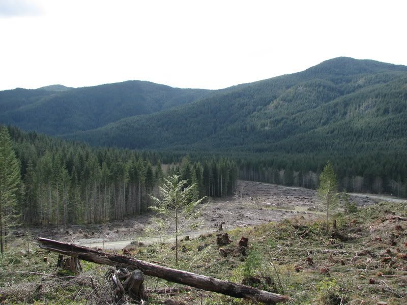
I'd stop by the big tree (can't miss it -- there's a sign on the road) and if you're up for it venture off along logging road spurs to check out some quiet areas that would be great for a picnic.

Vic >> Port Renfrew 1:15 hours
PR >> Lake Cowichan 1:25 hours (with a few stops)
Lake Cowichan >> Victoria 1:30 hours


Thanks Mike!! I think we will go on Saturday.

#22 Linear Thinker

Linear Thinker
  • Member
  • 522 posts
  • LocationWork from home, Live in Fairfield

Posted 01 May 2009 - 11:24 AM

Was this somewhere in the media? Interesting idea to have happen.


Was anyone able to find a media release, etc., about this?

I looked on the BC-MOT site, last weekend I think, and could not find anything about this.
Is it, in fact, the Province doing it?

#23 victorian fan

victorian fan
  • Member
  • 1,923 posts

Posted 01 May 2009 - 11:49 AM

This may be part of it:

Pacific Marine Circle Route (9.0 Single Lane KM) – Paving and Sealcoat
O.K. Industries Ltd. was awarded a contract valued at $ $518,980.00 for approximately 37500 square metres of double graded aggregate seal on 4.0 km of road and 410 tonnes of asphalt pavement and 2000 square meters of single graded aggregate seal on 0.5 km of switchback corners. The project is expected to be completed by June 15, 2009.

Questions about this project should be directed to, Darren Englund, Project Manager, at 250-751-7039.


http://www.th.gov.bc...South_Coast.htm

#24 sebberry

sebberry

    Resident Housekeeper

  • Moderator
  • 21,507 posts
  • LocationVictoria

Posted 01 May 2009 - 06:30 PM

VV group cruise before all the land gets destroyed and developed!

Victoria current weather by neighbourhood: Victoria school-based weather station network

Victoria webcams: Big Wave Dave Webcams


#25 sebberry

sebberry

    Resident Housekeeper

  • Moderator
  • 21,507 posts
  • LocationVictoria

Posted 01 May 2009 - 06:31 PM

I was in a Jeep. Fully capable to handle the roads, but the potholes were relentless and some almost a foot deep. 20km/h was the max for much of the road. That was in the winter, of course, where potholes were at their worst.


Ok, that's worse than when I went, but after all it IS a remote logging road in the middle of winter.

Victoria current weather by neighbourhood: Victoria school-based weather station network

Victoria webcams: Big Wave Dave Webcams


#26 D.L.

D.L.
  • Member
  • 7,786 posts

Posted 01 May 2009 - 10:28 PM

VV group cruise before all the land gets destroyed and developed!

like it hasn't already been destroyed by logging???

#27 sebberry

sebberry

    Resident Housekeeper

  • Moderator
  • 21,507 posts
  • LocationVictoria

Posted 01 May 2009 - 11:58 PM

like it hasn't already been destroyed by logging???


It would be a lot easier to plant some new trees than to build new houses there. I'm not a tree-hugger, but don't you think we have enough urban sprawl yet?

Victoria current weather by neighbourhood: Victoria school-based weather station network

Victoria webcams: Big Wave Dave Webcams


#28 D.L.

D.L.
  • Member
  • 7,786 posts

Posted 02 May 2009 - 08:09 AM

hardly urban sprawl. more like country acreages

#29 Mike K.

Mike K.
  • Administrator
  • 83,482 posts

Posted 02 May 2009 - 09:41 AM

Renfrew is a potential site for a new deep water port so we should expect some increase in housing and investment in local infrastructure.

Weren't the WFP lands only sold off between Sooke and PR?

Know it all.
Citified.ca is Victoria's most comprehensive research resource for new-build homes and commercial spaces.


#30 amor de cosmos

amor de cosmos

    BUILD

  • Member
  • 7,121 posts

Posted 05 June 2009 - 06:56 AM

Circle route close to being a reality
Last section being paved on road seen as boon to tourism

By Judith Lavoie, Times Colonist
June 5, 2009

The last five kilometres of the once-infamous road between Port Renfrew and Lake Cowichan will be paved next week, providing the final link in a scenic circle drive for tourists and an alternative for drivers when the Malahat is blocked -- provided they have plenty of time.

The 52-kilometre stretch, slowly upgraded over several years from a zig-zagging logging road, was well known for breaking axles, bursting tires and skiddy, gravel-topped curves.

Four years ago, the road was spotlighted when the province invented the Pacific Marine Circle Route as a marketing tool to attract tourists. It became a segment of a circuit running from Victoria through Duncan, Lake Cowichan, Port Renfrew and Sooke. But the Port Renfrew-Lake Cowichan link was so bad that tourists had to be discouraged from using it unless conditions were perfect or they had heavy-duty vehicles.

Some help came in 2007 when a newly applied coating on Highway 18 failed. The coating was stripped off, remixed with other road-building material, and used to upgrade the Port Renfrew-Lake Cowichan road.

Other parts of the road were gradually paved or chip-sealed, but five kilometres in the middle remained in rough shape.

"You definitely needed a four-wheel-drive for that," said Port Renfrew Chamber of Commerce director Rosie Betsworth.

But from early next week, it will be an easy drive, said Transportation Ministry spokesman Dave Crebo.

"It is a huge improvement. You could drive at 70 or 80 kilometres an hour along about three-quarters of that road," he said. "It's wider and much better quality."

It's also useful to have an emergency alternative to the Malahat, Crebo said. "But not if you're hoping to make it to the office by 9 a.m."

Port Renfrew residents hope the completed road will bring more tourists.

"I'm sure it will help," said Karen Pearson, a bookkeeper at the Lighthouse Pub. "I will take my car over it and I wouldn't before. It was a washboard and there were so many accidents."

For Dorothy Hunt, Pacheedaht First Nation band manager, who works in Port Renfrew and lives in Lake Cowichan, the paved road will reduce the commute to about 50 minutes. "And we need that out here to create jobs," she said.

But there's some concern that the improved road will draw business away from Sooke. People in Port Renfrew will head to Lake Cowichan and Duncan to shop because Highway 14 to Sooke, also known as the West Coast Road, is in rough shape, said Betsworth. "I feel sorry for the merchants in Sooke," she said.

Crebo said $11 million is being spent on replacing two bridges on Highway 14 and straightening some of the curves.

One bridge will be completed this fall and the second by the fall of 2010, he said.

http://www.timescolo...6021/story.html

#31 Mike K.

Mike K.
  • Administrator
  • 83,482 posts

Posted 05 June 2009 - 07:44 AM

But there's some concern that the improved road will draw business away from Sooke. People in Port Renfrew will head to Lake Cowichan and Duncan to shop because Highway 14 to Sooke, also known as the West Coast Road, is in rough shape, said Betsworth. "I feel sorry for the merchants in Sooke," she said.

Do 200 Port Renfrew residents really have that much of an impact on Sooke's economy?

Anyways, people have been traveling the circle route to Cowichan for years and the blacktop won't change habits that haven't already changed.

Know it all.
Citified.ca is Victoria's most comprehensive research resource for new-build homes and commercial spaces.


#32 G-Man

G-Man

    Senior Case Officer

  • Moderator
  • 13,805 posts

Posted 05 June 2009 - 07:49 AM

^ I thought the exact same thing. Even with the old road I bet more people were heading for Lake Cowichan in the summer than to Sooke.

If anything this will increase sales in Sooke as more people venture out this way and stop in Sooke for supplies before hitting the road.

I would love to buy property along that road somewhere...

#33 sebberry

sebberry

    Resident Housekeeper

  • Moderator
  • 21,507 posts
  • LocationVictoria

Posted 05 June 2009 - 10:44 PM

I must make a point of getting up there this weekend before the last little bit of "remoteness" is lost from that road.

The curves were the best part, why must they be straightened? Can nobody negotiate a curve these days? The best driving roads in the world are curvy, yet our efforts to make everything "better" just involve bulldozing a straight line between two points.


"It is a huge improvement. You could drive at 70 or 80 kilometres an hour along about three-quarters of that road," he said. "It's wider and much better quality."


IIRC, those paved sections where it was possible to travel on the gravel at those speeds were paved over with 50 and 60km/hr limits put up.

Victoria current weather by neighbourhood: Victoria school-based weather station network

Victoria webcams: Big Wave Dave Webcams


#34 sebberry

sebberry

    Resident Housekeeper

  • Moderator
  • 21,507 posts
  • LocationVictoria

Posted 05 June 2009 - 10:53 PM

I would love to buy property along that road somewhere...


From this


To this:


Maybe they'll name the roads after the wildlife and trees that are displaced for the developments. I'd love to stay at "Forest Hills Hotel" overlooking the new developments that stand where trees once were. Maybe they'll have a nice mural of trees and soaring eagles on the side of the hotel.

For now it might be acreages, but give it 20 years or so and that entire area will look like Langford. Dangerous doors to development will opened, you'll see.

Victoria current weather by neighbourhood: Victoria school-based weather station network

Victoria webcams: Big Wave Dave Webcams


#35 G-Man

G-Man

    Senior Case Officer

  • Moderator
  • 13,805 posts

Posted 06 June 2009 - 06:39 AM

That area will never look like that. I mean there has been a highway to Tofino for decades and there areas along that road that are still desolate.

#36 LJ

LJ
  • Member
  • 12,733 posts

Posted 06 June 2009 - 11:47 AM

I rode the loop last weekend on a mototcycle and it was much improved from what it was last year. The gravel portions were pretty smooth and comfortable to drive.

Came across black bears on three occasions, so it still feels very rural.
Life's a journey......so roll down the window and enjoy the breeze.

#37 Mike K.

Mike K.
  • Administrator
  • 83,482 posts

Posted 06 June 2009 - 12:18 PM

It's definitely got that rural feel and that won't change any time soon. The only change is one to increase safety on a road used by tourists and locals, AND as an alternative route should the Malahat be closed for an extended period.

If you want to experience something really rural then head west of Lake Cowichan and don't stop for at least an hour. Or better yet, sneak along the logging roads of the central and northern Island.

Know it all.
Citified.ca is Victoria's most comprehensive research resource for new-build homes and commercial spaces.


#38 sebberry

sebberry

    Resident Housekeeper

  • Moderator
  • 21,507 posts
  • LocationVictoria

Posted 06 June 2009 - 05:11 PM

Came across black bears on three occasions, so it still feels very rural.


"The Black Bear Inn".. that'll be the name of the neighborhood pub up there in 15 years.:P

Victoria current weather by neighbourhood: Victoria school-based weather station network

Victoria webcams: Big Wave Dave Webcams


#39 pseudotsuga

pseudotsuga
  • Member
  • 287 posts

Posted 07 June 2009 - 09:08 PM

It is mostly private land, so it is conceivable that some land on the route could eventually be developed.
But I think there are much more attractive large parcels owned by logging companies on the east (dry!) side of the island that will be developed far, far sooner.

#40 sebberry

sebberry

    Resident Housekeeper

  • Moderator
  • 21,507 posts
  • LocationVictoria

Posted 25 June 2009 - 08:30 PM

I guess this is done now. I will try to make an effort to take a look on Monday.

Victoria current weather by neighbourhood: Victoria school-based weather station network

Victoria webcams: Big Wave Dave Webcams


You're not quite at the end of this discussion topic!

Use the page links at the lower-left to go to the next page to read additional posts.


0 user(s) are reading this topic

0 members, 0 guests, 0 anonymous users