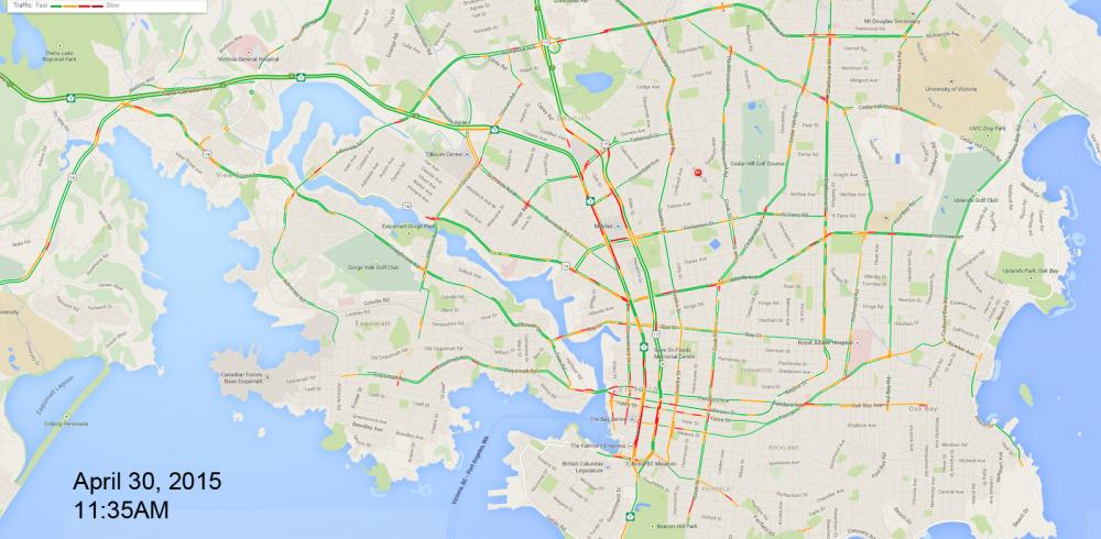
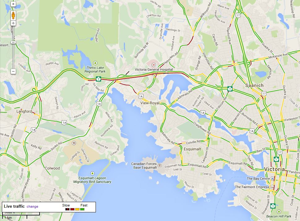
I figured it would be a good idea to monitor levels of traffic congestion throughout the urban core of Victoria.
For anyone posting a map, please ensure to:
1) note the DATE
2) note the TIME
of the Google map.
Of note in the map below is the congestion on Douglas between Belleville and Discovery, or right through the downtown core, and again on Douglas between Topaz and Saanich road in both directions. I believe there's some road work happening along that stretch of Douglas.