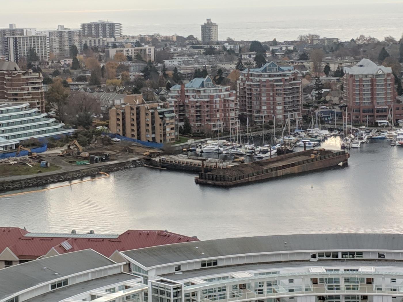
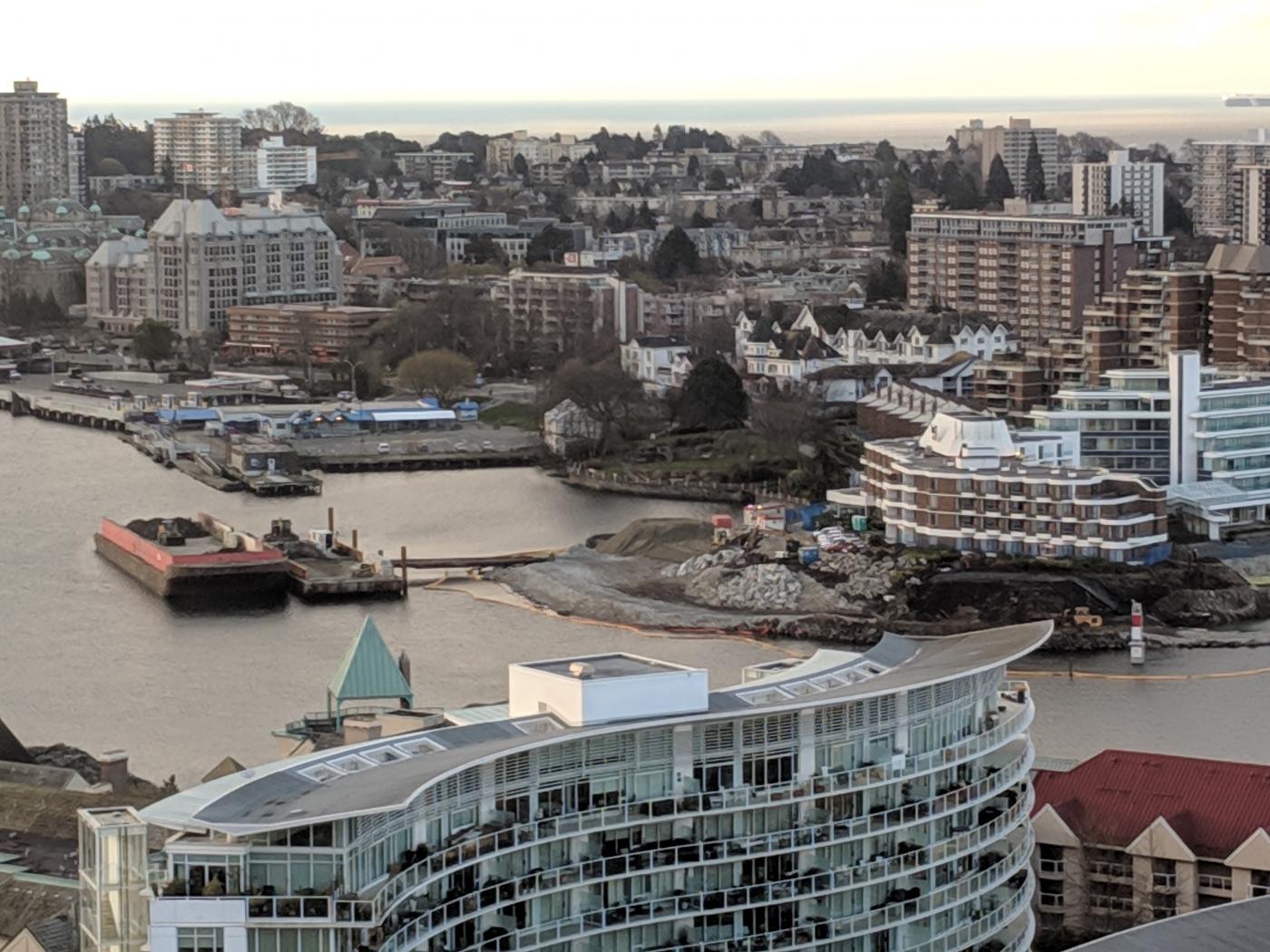
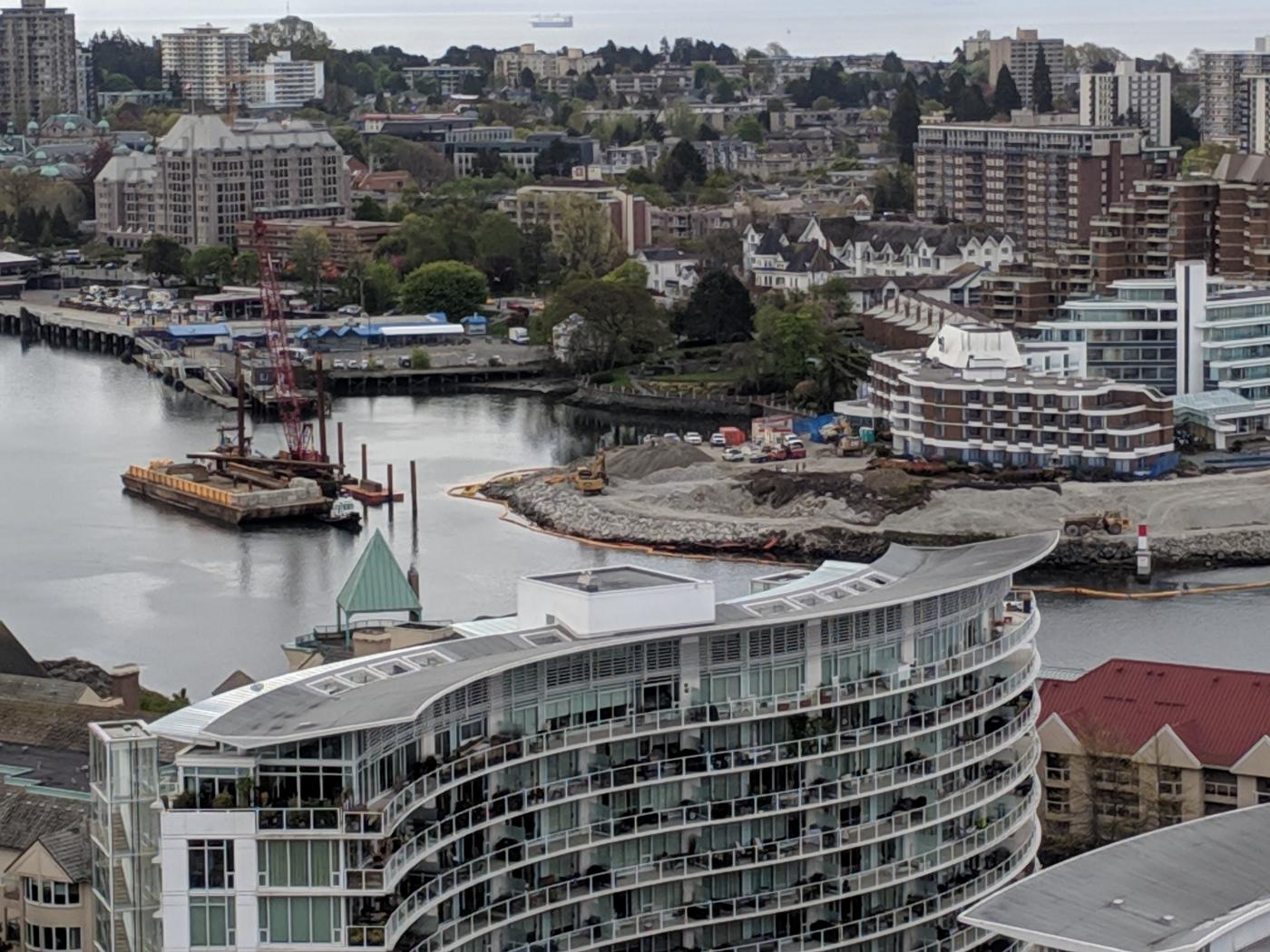
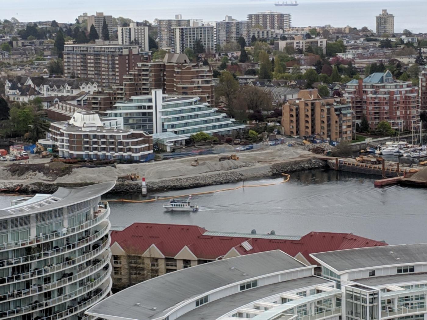
They're very busy doing the remediation. All the trees were cleared a few weeks ago. Piles were driven to hold two barges in place. One barge is pinned between piles and anchored to the shore. A second barge abuts the anchored one. Trucks dump soil at the end of the anchored barge. An excavator transfers the soil to the middle of the movable barge. A front end loader on the barge distributes the soil out toward either end.
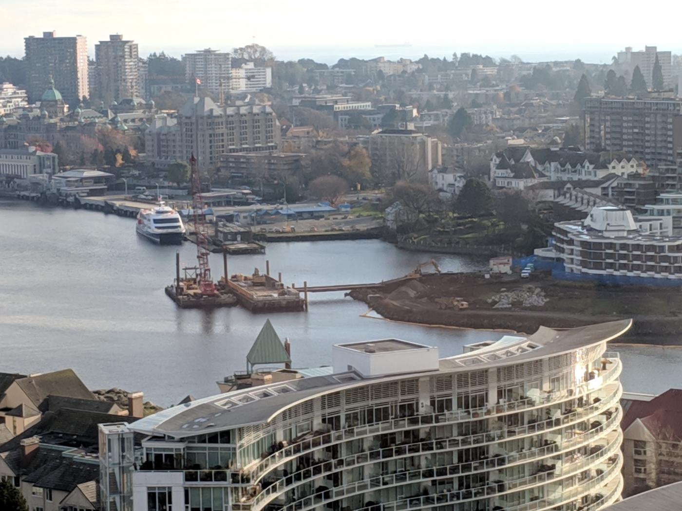
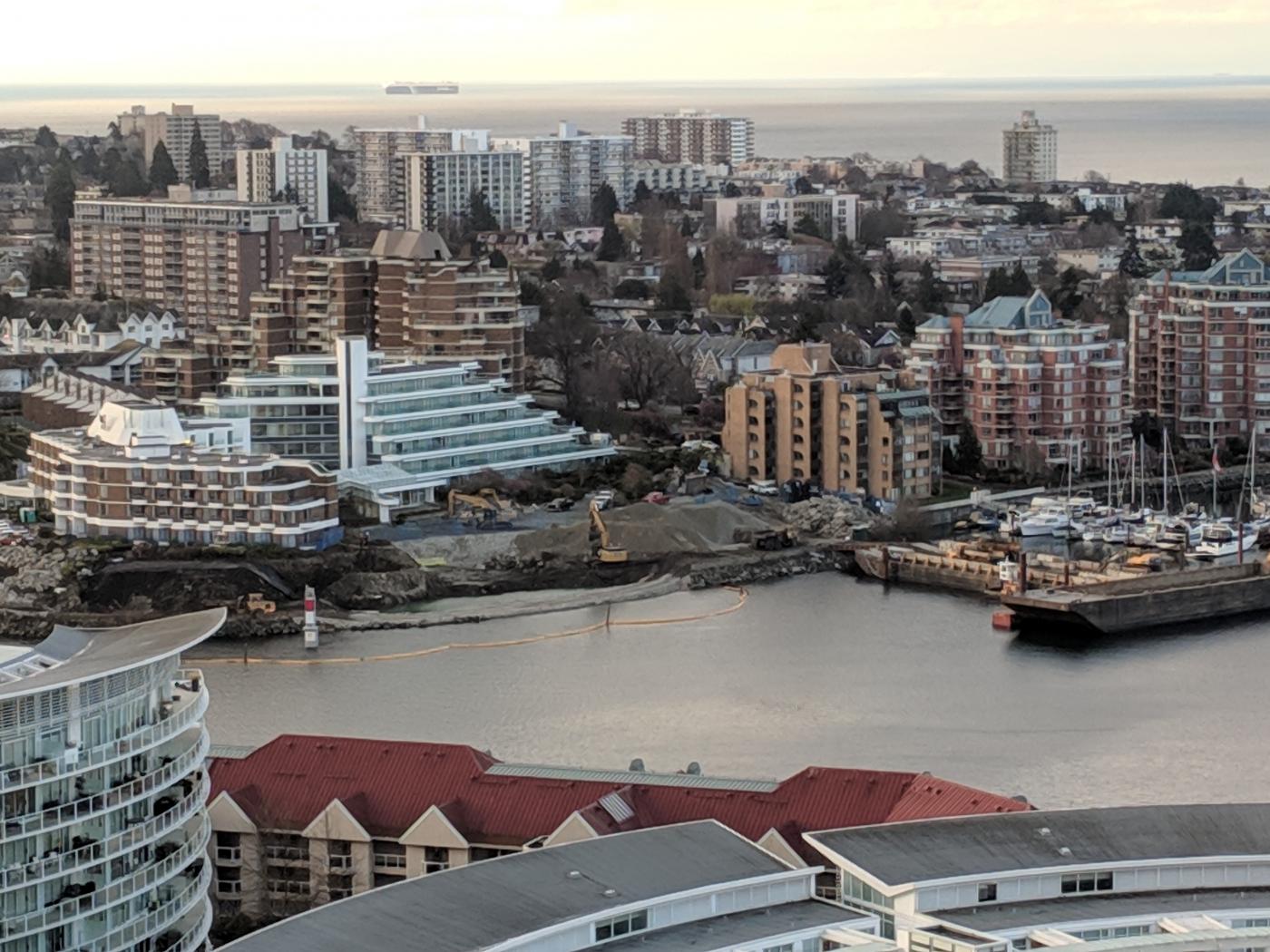
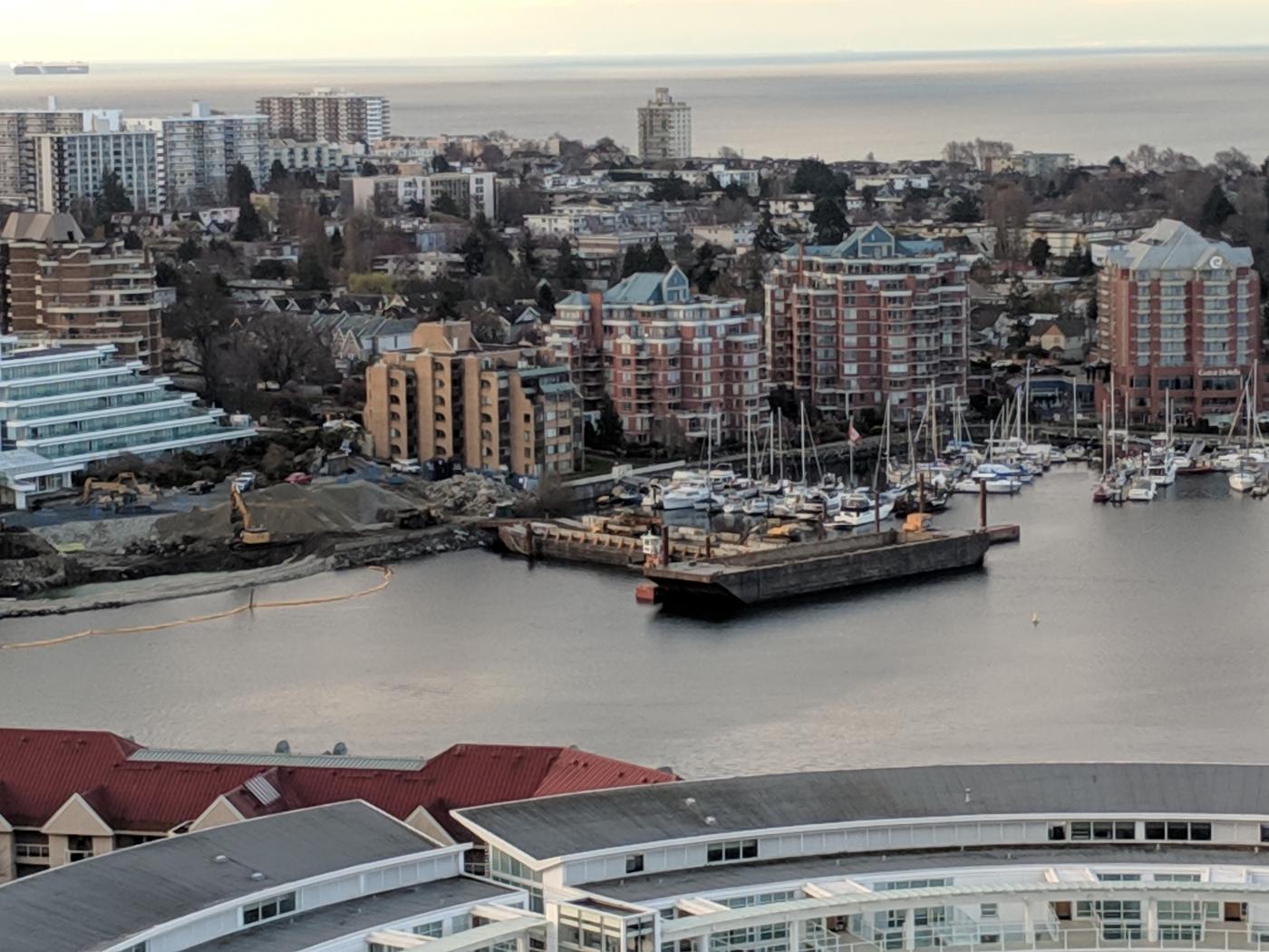
A crane and barge have been positioned at the east side of the site. It isn't clear to me if it will be used in a similar setup as the west side of the site.