Have we seen this map before?
I'm trying to understand the motives behind these changes and one of them might be the new pathway with the road closures that will now run diagonally from the northwest to the southeast. See the red dotted lines on the map above.
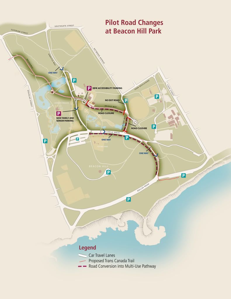
Unless the bollards at Park and Heywood were a mistake and will be removed they are not indicated on that map and they were very much real last night.
Also yes I could have gone up Arbutus but really didn't think I would not be able to enter Circle Drive from Dallas. It seemed longer at the moment but knowing what I know now I would operate differently. Perhaps it is resistance to change but I am usually okay with change when I see the benefit. I see no benefit and saw no problem previously...